


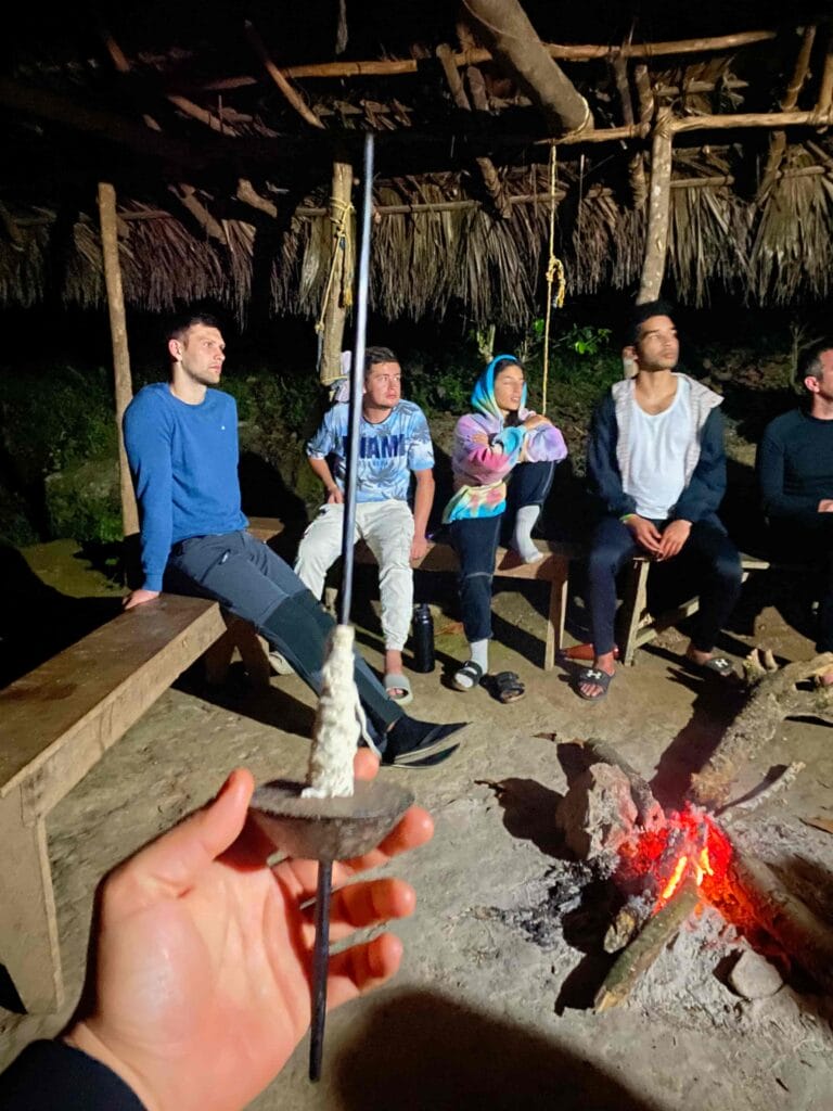
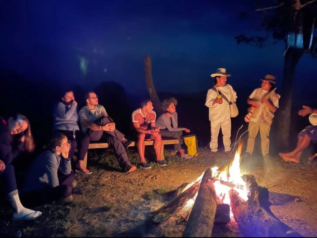


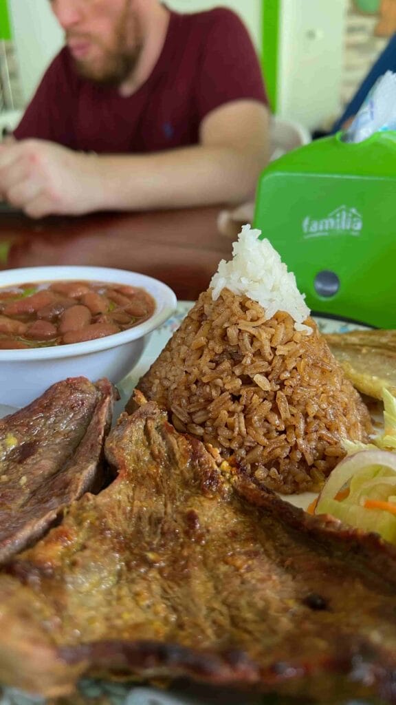


- Food
- Dormitory
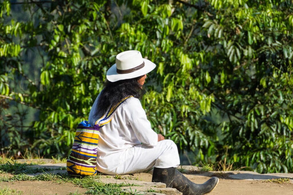
- Translator guide to English
- Transportation from Santa Marta to Lost City starting point
- Transportation from Lost City starting point to Santa Marta
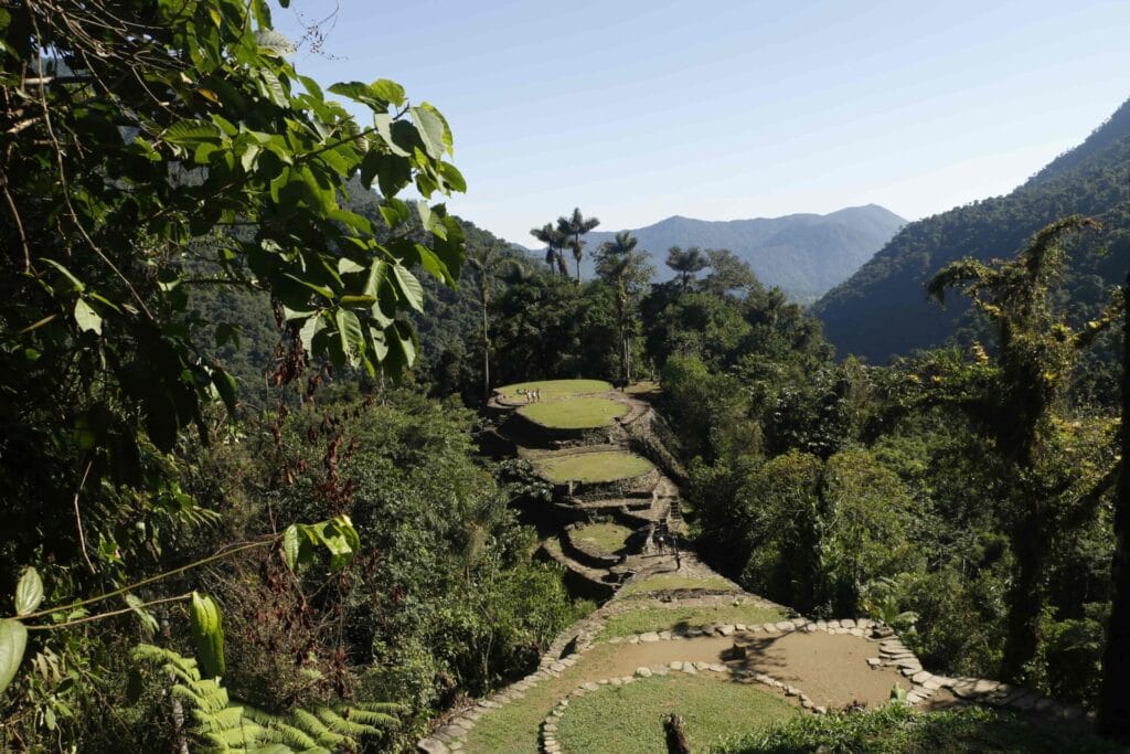
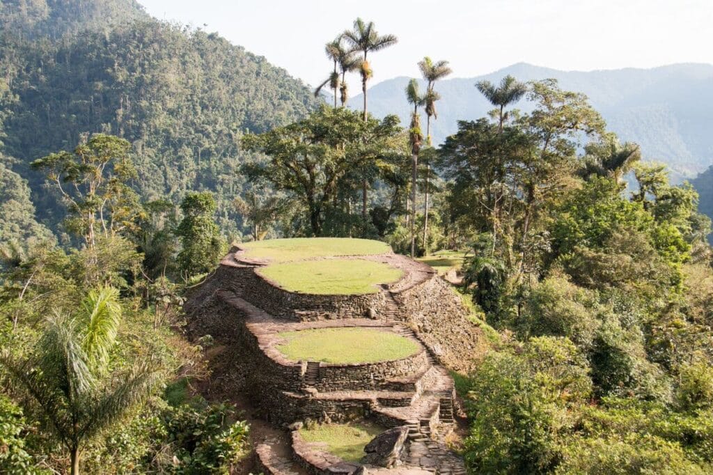
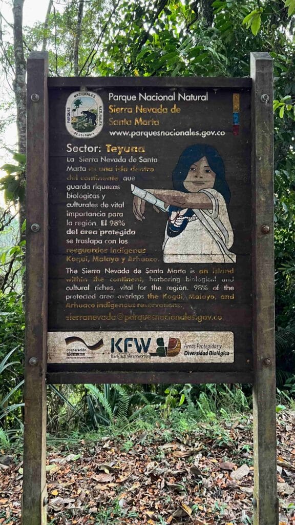
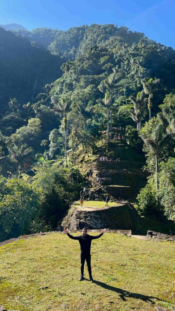
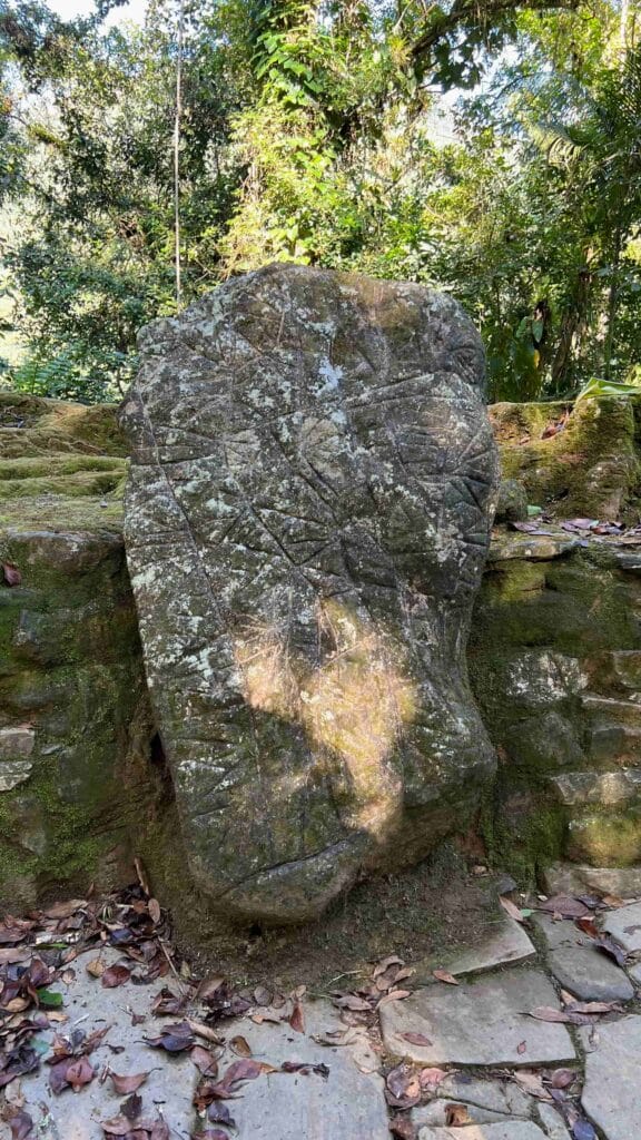
Lost City (Teyuna) is an ancient ceremonial, political and religious center of the Tayrona civilization, hidden among the mountains of the Sierra Nevada de Santa Marta. For any nature lover visiting Colombia, this destination is a must-see.
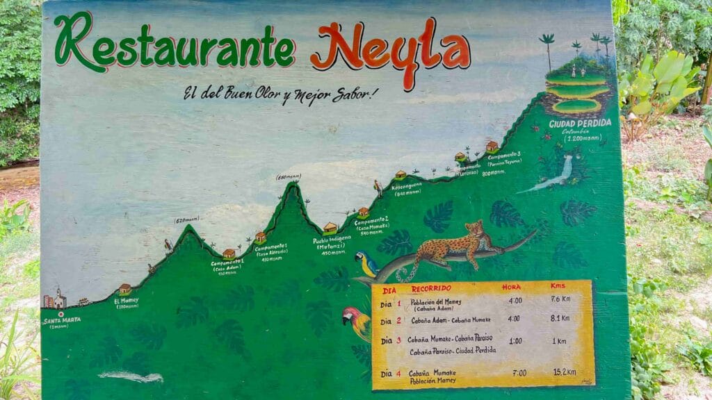
From cities like Santa Marta, Cartagena, Bogotá and Medellín, you can reach Ciudad Perdida. However, access is exclusively through organized tours, which usually last 4 or 5 days, covering around 60 kilometers of walking. These tours include transfers, lodging, food, entry permits and local guides.
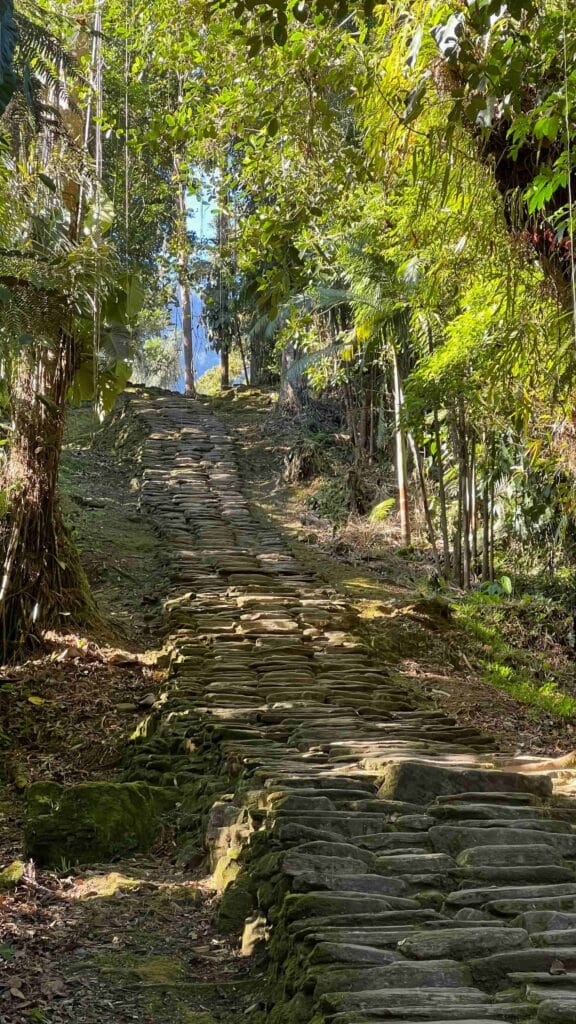
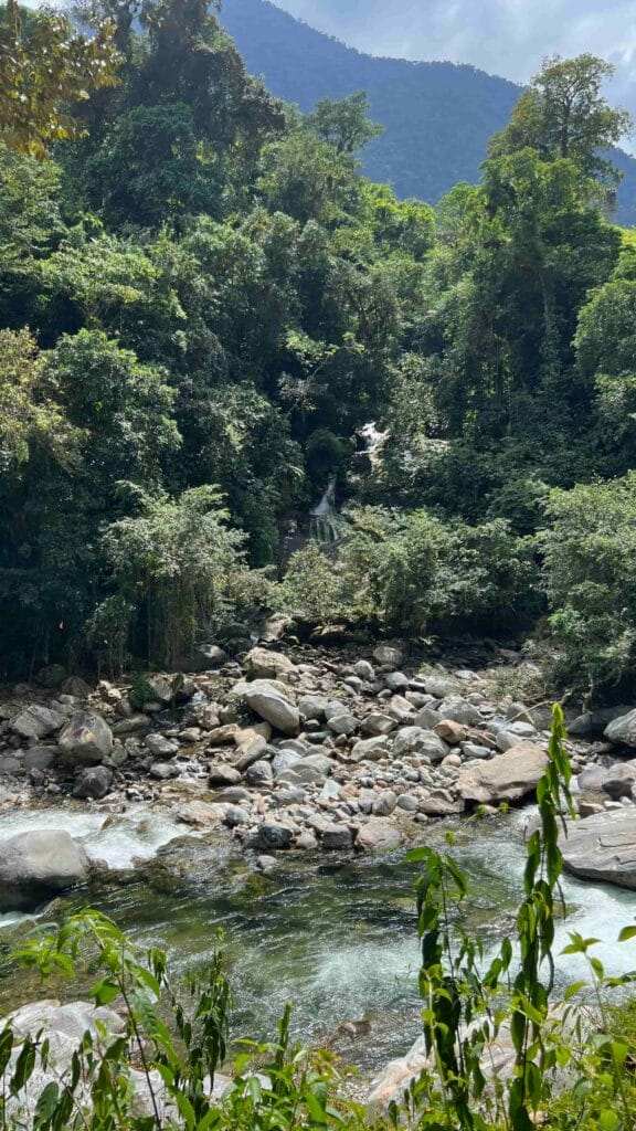
The walk begins from Santa Marta, taking you by 4×4 vehicle to El Mamey. From there, you walk around 8 kilometers to Camp 1, passing through impressive landscapes and enjoying the lush vegetation of the Sierra Nevada.
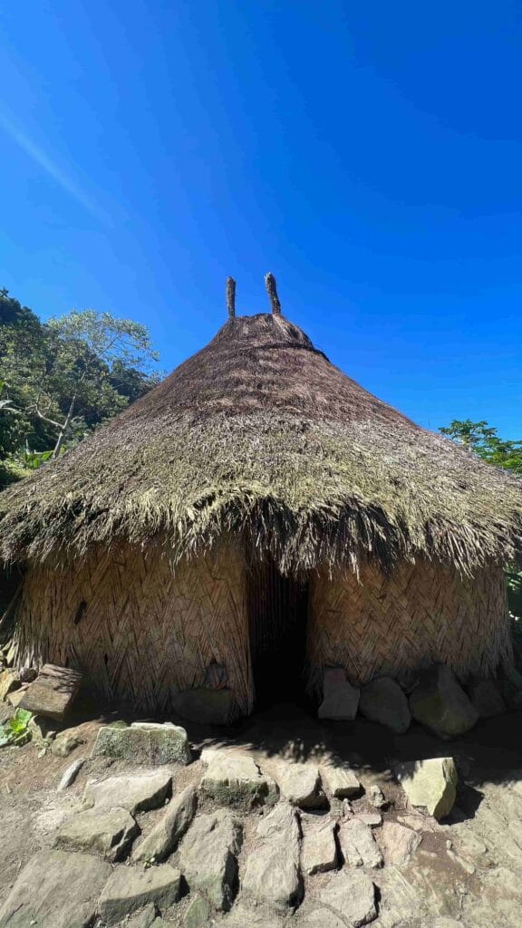
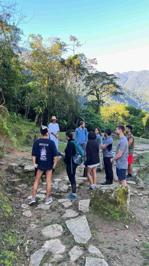
The second day involves a walk of approximately 15.5 kilometers until you reach Paraíso Teyuna. This section includes a visit to Casa Wiwa and the Mutanzi indigenous people, offering you a unique experience of contact with the local culture.
At the end of the day, we will be 2 km from Lost City (Teyuna).
The third day is the most exciting, as you will visit the legendary Lost City. After ascending the 1,260 steps that lead to the archaeological park, you will have time to explore its structures and immerse yourself in its history before returning to Cabaña Mumake.
The last day involves the return to Santa Marta, completing about 16 kilometers of walking. After enjoying a farewell lunch at El Mamey, you will be transferred back to Santa Marta, where you can reflect on the incredible adventure you have experienced.
Meeting point is at Santa Marta city.
This trekking is Grade A or very difficult trekking route. Excellent physical condition, extensive experience, technical skills.
On average, you walk about 6 to 8 hours per day.
There’s no signal during the trekking. But in the camps you can buy wifi
As you can see (on a mobile phone, you must click the orange circle with the currency sign), we have very flexible availability. Except for the month of September, when spiritual restoration rituals are performed by the indigenous communities. During these dates, travelers are not allowed to enter.
Need help with booking? Send us a message

We inspire people to protect nature by sharing indigenous wisdom.
RNT 214659
© 2025 Kalaira. Todos los derechos reservados.
Scroll down to see all difficulty levels.
Extremely Difficult
Very Difficult
Full-day mountain hikes
Moderately Difficult
5-10 km (3-6 miles)
3-5 km (2-3 miles)
Less than 3 km (less than 2 miles)
More than 30 km (19 miles)
20-30 km (12-19 miles)
15-20 km (9-12 miles)
10-15 km (6-9 miles)
5-10 km (3-6 miles)
3-5 km (2-3 miles)
Less than 3 km (less than 2 miles)